
Walking guide
Hiking & Backpacking Big Sur
Analise Elliot Heid · 2018
Comprehensive Big Sur trail guide covering Julia Pfeiffer Burns State Park and the McWay Falls overlook trail.

United States · Big Sur, California
One of very few waterfalls in the world that drops directly onto a beach, this year-round stream free-falls from a coastal bluff onto sand that, because the cove is fenced off from public access, stays untouched. A short trail from Highway 1 reaches the only legal viewpoint.
Checked September 2026 by David Bussell
McWay Falls drops 24 metres (79 ft) on the McWay Creek, inside Julia Pfeiffer Burns State Park. It is a plunge-type fall, and the nearest base for a visit is Big Sur, with MRY the closest airport. Access to the main viewpoint is rated easy.
As a plunge waterfall, water leaves the rock entirely and falls free through the air.
No commercial adventures run at McWay Falls itself — the experience is the approach and the view. Guided day trips from Big Sur are the easiest way to combine it with the area around it.
Also good forHikingPhotography
Flows year-round; clearest ocean views come on fog-free spring and fall days.
Entry: State park day-use fee
 This waterfall
McWay Falls
United States
Height24 mWidth—
 Most similar
Wailua Falls
United States
Height24 mWidth—
Also a plunge waterfall, of similar height and in the United States too
 Largest curtain
Victoria Falls
Zimbabwe · Zambia
Height108 mWidth1,708 m
Largest single sheet of falling water
 Tallest on earth
Angel Falls
Venezuela
Height979 mWidth—
 Widest on earth
Khone Phapheng Falls
Laos
Height21 mWidth10,783 m
Measured across the whole multi-channel system
Angel Falls is 41× taller than McWay Falls. Victoria Falls is 4.5× taller. We don't have a reliable crest width for McWay Falls yet, so it is left off the width chart. Tallest · widest lists.
 1:23
 1:05
 3:41
Chosen from YouTube; videos belong to their creators and play from YouTube's privacy-enhanced player.
Walking guide
Analise Elliot Heid · 2018
Comprehensive Big Sur trail guide covering Julia Pfeiffer Burns State Park and the McWay Falls overlook trail.
36.1592, -121.6725
McWay Falls is in United States (Big Sur, California), inside Julia Pfeiffer Burns State Park. The nearest base is Big Sur and the closest airport is MRY. Its coordinates are 36.1592, -121.6725.
McWay Falls drops 24 metres (79 feet). It is a plunge-type waterfall on the McWay Creek.
Peak flow is April to June and September to October. Flows year-round; clearest ocean views come on fog-free spring and fall days.
Beyond the viewpoints: hiking and photography. Access to the main viewpoint is rated easy — a short walk or roadside viewpoint.
The usual base is Big Sur, and the closest airport is MRY. A short walk or roadside viewpoint from there. State park day-use fee.
Nearby
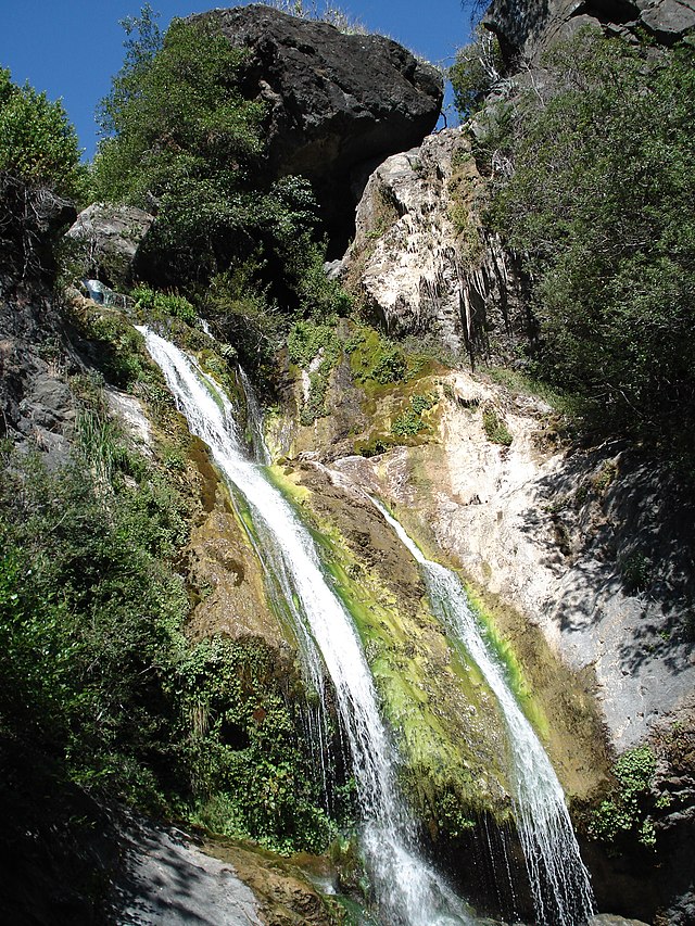
Salmon Creek Falls is a 120-foot waterfall in the southern Big Sur region of Monterey County, California. The…

Alamere Falls is a coastal waterfall in Point Reyes National Seashore, Marin County, California; it flows…

Chilnualna Falls is a series of waterfalls totaling 690 feet , located on Chilnualna Creek in the southern…
 UNESCO
Yosemite's most reliably year-round waterfall