Lonely Planet EnglandLonely Planet
Guidebook
Lonely Planet England
Lonely Planet · 2025
Current Lonely Planet England covering Teesdale and Ullswater, the settings of High Force and Aira Force.

United Kingdom · Malham
Janet's Foss is a small waterfall near the village of Malham, North Yorkshire, England. It carries Gordale Beck over a limestone outcrop topped by tufa into a deep pool below.
Facts from Wikidata and Wikipedia, compiled September 2026; season and access are our estimate, not a visit report. How we build these pages.
Janet's Foss drops over a series of steps. It is a cascade-type fall, and the nearest base for a visit is Malham, United Kingdom. Access to the main viewpoint is rated moderate.
Summary adapted from the Wikipedia article (CC BY-SA 4.0).
As a cascade waterfall, water tumbles down a series of rock steps rather than falling free.
Also good forHikingPhotography
Spring snowmelt and rain make April to June the fullest months; October adds colour, and a hard winter can freeze the face.
 This waterfall
Janet's Foss
United Kingdom
Height—Width—
 Most similar
Cascate del Varone
Italy
Height100 mWidth—
Also a cascade waterfall, with caving and in Italy
 Largest curtain
Victoria Falls
Zimbabwe · Zambia
Height108 mWidth1,708 m
Largest single sheet of falling water
 Tallest on earth
Angel Falls
Venezuela
Height979 mWidth—
 Widest on earth
Khone Phapheng Falls
Laos
Height21 mWidth10,783 m
Measured across the whole multi-channel system
We don't have a reliable crest width for Janet's Foss yet, so it is left off the width chart. Tallest · widest lists.
Guidebook
Lonely Planet · 2025
Current Lonely Planet England covering Teesdale and Ullswater, the settings of High Force and Aira Force.
Guidebook
Lonely Planet · 2025
Current Lonely Planet Scotland covering Glen Nevis, Kintail and the Moffat area.
Guidebook
Rough Guides · 2025
Current Rough Guide with Highland and Borders detail for Steall, Glomach and Grey Mare's Tail trips.
Guidebook
Lonely Planet · 2025
Current Lonely Planet Wales covering the Brecon Beacons (Bannau Brycheiniog) and its waterfall country.
54.06573, -2.13635
Janet's Foss is in United Kingdom (Malham). The nearest base is Malham, United Kingdom. Its coordinates are 54.0657, -2.1364.
Peak flow is April to June and October. Spring snowmelt and rain make April to June the fullest months; October adds colour, and a hard winter can freeze the face.
Beyond the viewpoints: caving, hiking and photography. Access to the main viewpoint is rated moderate — a real walk — expect stairs, uneven ground or an hour on the trail.
The usual base is Malham, United Kingdom. A real walk — expect stairs, uneven ground or an hour on the trail from there.
Nearby

Aysgarth Falls are a triple flight of waterfalls, surrounded by woodland and farmland, carved out by the…
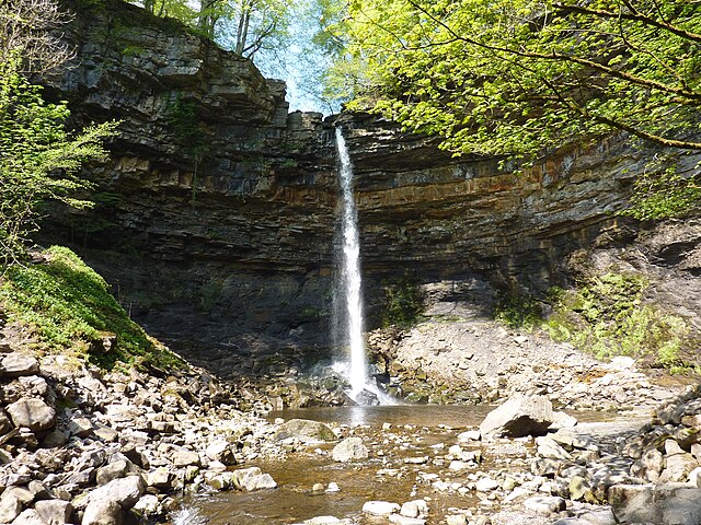
Hardraw Force is a waterfall on Hardraw Beck in Hardraw Scar, a wooded ravine just outside the hamlet of…

Kisdon Force is a series of waterfalls on the River Swale in Swaledale, England. The falls are situated…

Cautley Spout is England's highest waterfall above ground. . The broken cascade of falls tumbles a total of…