DK Eyewitness New ZealandDK Eyewitness
Guidebook
DK Eyewitness New Zealand
DK Eyewitness · 2024
Illustrated maps and regional chapters, helpful for planning a road trip between Taupo, Waitomo and Fiordland.

New Zealand · Westland District
Thunder Creek Falls is a waterfall in Mount Aspiring National Park, Westland District, New Zealand. It is located in the Haast River valley, around 52 kilometres inland from Haast, near the Gates of Haast bridge on State Highway 6.
Facts from Wikidata and Wikipedia, compiled September 2026; season and access are our estimate, not a visit report. How we build these pages.
Thunder Creek Falls drops 28 metres (92 ft) on the Thunder Creek, inside Mount Aspiring National Park. It is a cascade-type fall, and the nearest base for a visit is Westland District, New Zealand. Access to the main viewpoint is rated moderate.
Summary adapted from the Wikipedia article (CC BY-SA 4.0).
As a cascade waterfall, water tumbles down a series of rock steps rather than falling free.
No commercial adventures run at Thunder Creek Falls itself — the experience is the approach and the view. Guided day trips from Westland District are the easiest way to combine it with the area around it.
Also good forHikingPhotographyWildlife & safari
Spring, September to December, pairs snowmelt or winter rain with lengthening days; autumn (April to May) is the quieter second season.
 This waterfall
Thunder Creek Falls
New Zealand
Height28 mWidth—
 Most similar
Roaring Billy Falls
New Zealand
Height30 mWidth—
Also a cascade waterfall, of similar height and in New Zealand too
 Largest curtain
Victoria Falls
Zimbabwe · Zambia
Height108 mWidth1,708 m
Largest single sheet of falling water
 Tallest on earth
Angel Falls
Venezuela
Height979 mWidth—
 Widest on earth
Khone Phapheng Falls
Laos
Height21 mWidth10,783 m
Measured across the whole multi-channel system
Angel Falls is 35× taller than Thunder Creek Falls. Victoria Falls is 3.9× taller. We don't have a reliable crest width for Thunder Creek Falls yet, so it is left off the width chart. Tallest · widest lists.
Guidebook
DK Eyewitness · 2024
Illustrated maps and regional chapters, helpful for planning a road trip between Taupo, Waitomo and Fiordland.
Guidebook
Jamie Christian Desplaces · 2024
Built around road trips and the Great Walks, a good fit if you're combining the Milford Track with North Island falls.

Guidebook
Lonely Planet · 2023
The 21st edition covers Fiordland, Milford Sound, Taupo and the Waikato, so it handles every NZ fall on this site.
Guidebook
Rough Guides · 2023
A current second opinion on routes and stays, with good coverage of the Waikato and the road into Milford Sound.
-44.038, 169.365
Thunder Creek Falls is in New Zealand (Westland District), inside Mount Aspiring National Park. The nearest base is Westland District, New Zealand. Its coordinates are -44.0380, 169.3650.
Thunder Creek Falls drops 28 metres (92 feet). It is a cascade-type waterfall on the Thunder Creek.
Peak flow is September to December. Spring, September to December, pairs snowmelt or winter rain with lengthening days; autumn (April to May) is the quieter second season.
Beyond the viewpoints: hiking, photography and wildlife & safari. Access to the main viewpoint is rated moderate — a real walk — expect stairs, uneven ground or an hour on the trail.
The usual base is Westland District, New Zealand. A real walk — expect stairs, uneven ground or an hour on the trail from there.
Nearby

The Gates of Haast is a gorge on the Haast River in Mount Aspiring National Park in the South Island of New…
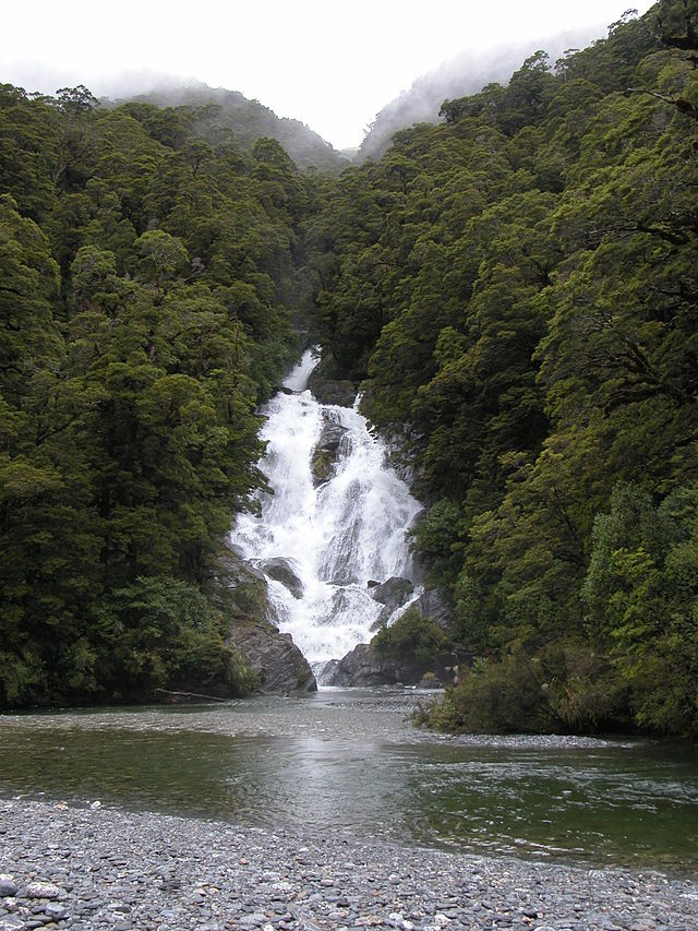
Fantail Falls is a waterfall in Mount Aspiring National Park, Westland District, New Zealand. The waterfall…
Roaring Billy Falls is a waterfall in Mount Aspiring National Park, Westland District, New Zealand. It is…

Humboldt Falls is a waterfall located in the Hollyford Valley in the Fiordland district of New Zealand. They…