
Guidebook
Congo: Democratic Republic, Republic
Sean Rorison · 2012
Covers both Congos, including Kinshasa, Brazzaville and the Lower Congo rapids; check current security advice alongside it.
Democratic Republic of the Congo · Kongo Central
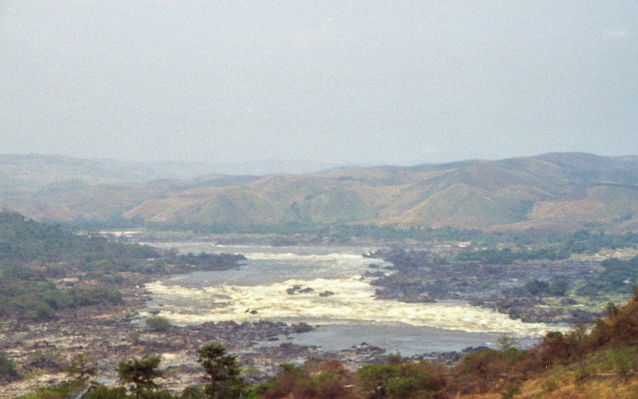
Inga Falls is a rapid 40 kilometres from Matadi in the Democratic Republic of the Congo where the Congo River drops 96 metres over the course of 15 kilometres . The falls are part of a larger group of rapids in the lower Congo River.
Facts from Wikidata and Wikipedia, compiled September 2026; season and access are our estimate, not a visit report. How we build these pages.
Inga Falls drops 96 metres (315 ft) on the River Congo. It is a cataract-type fall, and the nearest base for a visit is Kongo Central, Democratic Republic of the Congo. Access to the main viewpoint is rated moderate.
Summary adapted from the Wikipedia article (CC BY-SA 4.0).
Inga Falls is the second-tallest of the 8 we cover in Democratic Republic of the Congo. As a cataract waterfall, a large, powerful waterfall or series of rapids on a big river.
No commercial adventures run at Inga Falls itself — the experience is the approach and the view. Guided day trips from Kongo Central are the easiest way to combine it with the area around it.
Also good forHikingPhotography
Rain-season fed: the falls are at their biggest towards the end of the main rains and can shrink dramatically in the dry months.
 This waterfall
Inga Falls
Democratic Republic of the Congo
Height96 mWidth—
 Most similar
Uchan-su
Russia · Ukraine
Height98 mWidth—
Also a cataract waterfall and of similar height
 Largest curtain
Victoria Falls
Zimbabwe · Zambia
Height108 mWidth1,708 m
Largest single sheet of falling water
 Tallest on earth
Angel Falls
Venezuela
Height979 mWidth—
 Widest on earth
Khone Phapheng Falls
Laos
Height21 mWidth10,783 m
Measured across the whole multi-channel system
Angel Falls is 10× taller than Inga Falls. It is about the same height as Victoria Falls (108 m). We don't have a reliable crest width for Inga Falls yet, so it is left off the width chart. Tallest · widest lists.
Guidebook
Sean Rorison · 2012
Covers both Congos, including Kinshasa, Brazzaville and the Lower Congo rapids; check current security advice alongside it.
-5.53306, 13.60639
Inga Falls is in Democratic Republic of the Congo (Kongo Central). The nearest base is Kongo Central, Democratic Republic of the Congo. Its coordinates are -5.5331, 13.6064.
Inga Falls drops 96 metres (315 feet). It is a cataract-type waterfall on the River Congo.
Peak flow is April to May and October to November. Rain-season fed: the falls are at their biggest towards the end of the main rains and can shrink dramatically in the dry months.
Beyond the viewpoints: hiking and photography. Access to the main viewpoint is rated moderate — a real walk — expect stairs, uneven ground or an hour on the trail.
The usual base is Kongo Central, Democratic Republic of the Congo. A real walk — expect stairs, uneven ground or an hour on the trail from there.
Nearby

The Yellala Falls are a series of waterfalls and rapids on the Congo River just upstream from Matadi in the…

World's most powerful river rapids by discharge

The Petites Chutes de la Lukaya is a set of small waterfalls on the Lukaya River. They are just south of…

One of Africa's largest waterfalls by volume