
About this place
The Potomac River: A History and Guide
Garrett Peck · 2012
River history and guide covering Great Falls, the Patowmack Canal ruins and the C&O Canal on the Maryland side.
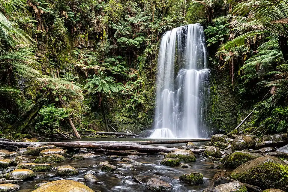
United States · Mid-Atlantic
Just upstream from Washington, D.C., the Potomac drops through a series of steep, closely spaced cascades into Mather Gorge, a whitewater stretch popular with expert kayakers and rock climbers. Overlooks on both the Virginia and Maryland sides give dramatically different perspectives on the same churn.
Checked September 2026 by David Bussell
Great Falls drops 20 metres (66 ft) on the Potomac, inside Great Falls Park. It is a cataract-type fall, and the nearest base for a visit is McLean, Virginia, with DCA the closest airport. Access to the main viewpoint is rated moderate.
As a cataract waterfall, a large, powerful waterfall or series of rapids on a big river.
Also good forHikingPhotography
Spring snowmelt gives the most dramatic rapids; the gorge is scenic year-round.
Entry: Park entry ~$20 USD per vehicle
 This waterfall
Great Falls
United States
Height20 mWidth—
 Most similar
Sable Falls
United States
Height23 mWidth—
Also a cataract waterfall, of similar height and in the United States too
 Largest curtain
Victoria Falls
Zimbabwe · Zambia
Height108 mWidth1,708 m
Largest single sheet of falling water
 Tallest on earth
Angel Falls
Venezuela
Height979 mWidth—
 Widest on earth
Khone Phapheng Falls
Laos
Height21 mWidth10,783 m
Measured across the whole multi-channel system
Angel Falls is 49× taller than Great Falls. Victoria Falls is 5.4× taller. We don't have a reliable crest width for Great Falls yet, so it is left off the width chart. Tallest · widest lists.
 8:14
Chosen from YouTube; videos belong to their creators and play from YouTube's privacy-enhanced player.
About this place
Garrett Peck · 2012
River history and guide covering Great Falls, the Patowmack Canal ruins and the C&O Canal on the Maryland side.
Walking guide
Paul Elliott · 2017
DC-area hiking guide with trail maps for the Great Falls parks on both the Virginia and Maryland banks.
38.9977, -77.2551
Great Falls is in United States (Mid-Atlantic), inside Great Falls Park. The nearest base is McLean, Virginia and the closest airport is DCA. Its coordinates are 38.9977, -77.2551.
Great Falls drops 20 metres (66 feet). It is a cataract-type waterfall on the Potomac.
Peak flow is March to May and October. Spring snowmelt gives the most dramatic rapids; the gorge is scenic year-round.
Beyond the viewpoints: kayaking, hiking and photography. Access to the main viewpoint is rated moderate — a real walk — expect stairs, uneven ground or an hour on the trail.
The usual base is McLean, Virginia, and the closest airport is DCA. A real walk — expect stairs, uneven ground or an hour on the trail from there. Park entry ~$20 USD per vehicle.
Nearby

Blackwater Falls State Park is located in the Allegheny Mountains of Tucker County, West Virginia, US. The…

The Elakala Falls are a series of four waterfalls of Shays Run as it descends into the Blackwater Canyon in…
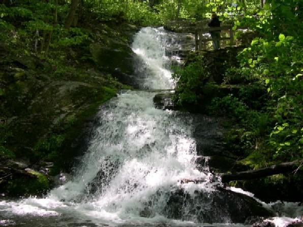
Crabtree Falls is one of the tallest sets of waterfalls in the United States east of the Mississippi River.…

Bushkill Falls is a series of eight privately owned waterfalls, the tallest of which cascades over 100 feet…