South America
Waterfalls in Colombia
4 waterfalls, from La Chorrera to Caño Paujil — at their best January to February and July.
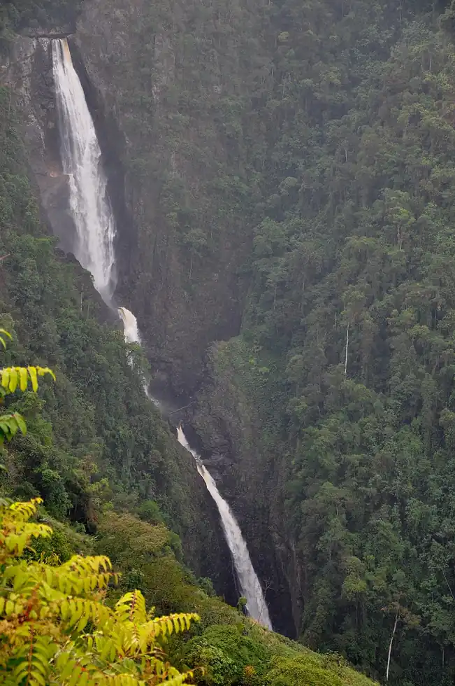
Colombia's two waterfalls on this site both drop off the edges of the Sabana de Bogota, the high Andean plateau that holds the capital, and both are within about an hour of the city. The Salto de Tequendama, south-west of Bogota near Soacha, is where the Bogota River plunges somewhere between 130 and 160 metres, depending on the source, into a forested canyon. Frederic Church painted it in 1854, and a 1920s hotel on the rim now operates as a museum, but the river carries much of the city's untreated wastewater and the falls often smell. La Chorrera, east of the city near Choachi, is reached by a muddy four-kilometre trail through cloud forest and, at about 590 metres in several tiers, is generally described as Colombia's tallest waterfall.
When to go
Bogota's highland climate has two drier spells, December to February and a shorter one around July and August, and two wetter ones, April-May and October-November. The dry months give firmer footing on the steep La Chorrera trail and clearer views into the Tequendama canyon; the rains bring more water but also mud and cloud. Tequendama's flow is regulated upstream and can drop sharply in dry spells.
Getting around
Both falls work as day trips from Bogota. Tequendama is roughly an hour's drive south-west via Soacha, and most visitors arrive by taxi, private driver or tour, since public transport is slow. For La Chorrera, buses and shared vans run from central Bogota over the eastern hills to Choachi; the trail starts at a community-run park near the village, where entry tickets are sold.
Entry requirements
US, Canadian, UK and EU citizens enter Colombia visa-free for up to 90 days, extendable to 180 days in a year, and should complete the free Check-MIG migration form online between 72 hours and one hour before travel.
Entry rules checked September 2026. They change without much notice — confirm with the official government source before you travel.
4 destinations
Every waterfall in Colombia
La Chorrera
Colombia's tallest waterfall

Tequendama Falls
Colombia's most famous, and most polluted, waterfall

Tequendamita Falls
Tequendamita Falls is a small natural waterfall in Colombia located in the municipality of El Retiro, in the…

Caño Paujil
Caño Paujil is a waterfall in the Colombian department of Caquetá. It is located at an elevation of 122…