Lonely Planet Costa RicaLonely Planet
Guidebook
Lonely Planet Costa Rica
Lonely Planet · 2025
Latest Lonely Planet Costa Rica, covering Arenal/La Fortuna, Tenorio's Río Celeste and the southern Pacific near Nauyaca.

Costa Rica · Bribri
The Volio Waterfall is located near the town of Bribri, Costa Rica in Limón Province. It is located within the Bribri Indian Reservation.
Facts from Wikidata and Wikipedia, compiled September 2026; season and access are our estimate, not a visit report. How we build these pages.
Volio Waterfall drops over a series of steps. It is a cascade-type fall, and the nearest base for a visit is Cahuita, Costa Rica. Access to the main viewpoint is rated moderate.
Summary adapted from the Wikipedia article (CC BY-SA 4.0).
As a cascade waterfall, water tumbles down a series of rock steps rather than falling free.
No commercial adventures run at Volio Waterfall itself — the experience is the approach and the view. Guided day trips from Cahuita are the easiest way to combine it with the area around it.
Also good forHikingPhotography
Fullest at the end of the wet season (October to December); the dry months of January to April are the easiest for swimming and access.
 This waterfall
Volio Waterfall
Costa Rica
Height—Width—
 Most similar
Churchill River
Canada
Height—Width—
Also a cascade waterfall and in Canada
 Largest curtain
Victoria Falls
Zimbabwe · Zambia
Height108 mWidth1,708 m
Largest single sheet of falling water
 Tallest on earth
Angel Falls
Venezuela
Height979 mWidth—
 Widest on earth
Khone Phapheng Falls
Laos
Height21 mWidth10,783 m
Measured across the whole multi-channel system
We don't have a reliable crest width for Volio Waterfall yet, so it is left off the width chart. Tallest · widest lists.
Guidebook
Lonely Planet · 2025
Latest Lonely Planet Costa Rica, covering Arenal/La Fortuna, Tenorio's Río Celeste and the southern Pacific near Nauyaca.
Guidebook
Nikki Solano · 2025
Current Moon guide by a Costa Rica-based author, with Arenal, Tenorio and Dominical-area coverage.
Guidebook
Lonely Planet · 2025
Region-wide guide with Honduras coverage, including San Pedro Sula and Lago de Yojoa, the base for Pulhapanzak.
9.64444, -82.87028
Volio Waterfall is in Costa Rica (Bribri). The nearest base is Cahuita, Costa Rica. Its coordinates are 9.6444, -82.8703.
Peak flow is January to February and October to December. Fullest at the end of the wet season (October to December); the dry months of January to April are the easiest for swimming and access.
Beyond the viewpoints: hiking and photography. Access to the main viewpoint is rated moderate — a real walk — expect stairs, uneven ground or an hour on the trail.
The usual base is Cahuita, Costa Rica. A real walk — expect stairs, uneven ground or an hour on the trail from there.
Nearby
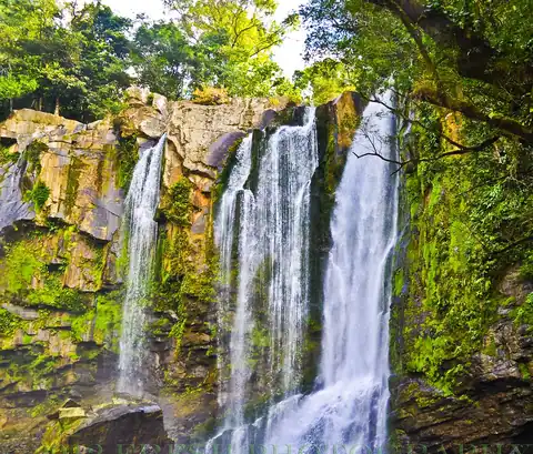
South Pacific Costa Rica's most popular swimming waterfall

La Paz is a waterfall in central Costa Rica. In Spanish, it is known as Catarata de La Paz.
 Full guide
Signature waterfall of Costa Rica's Arenal region
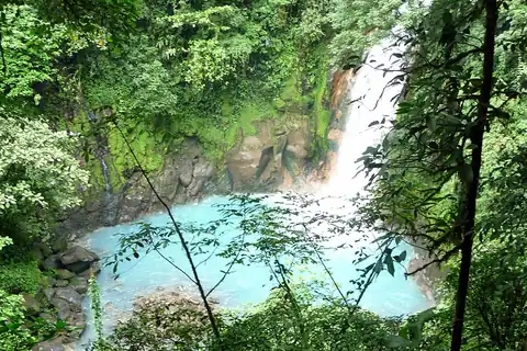
Famous for water colored by optical mineral scattering, not dye